
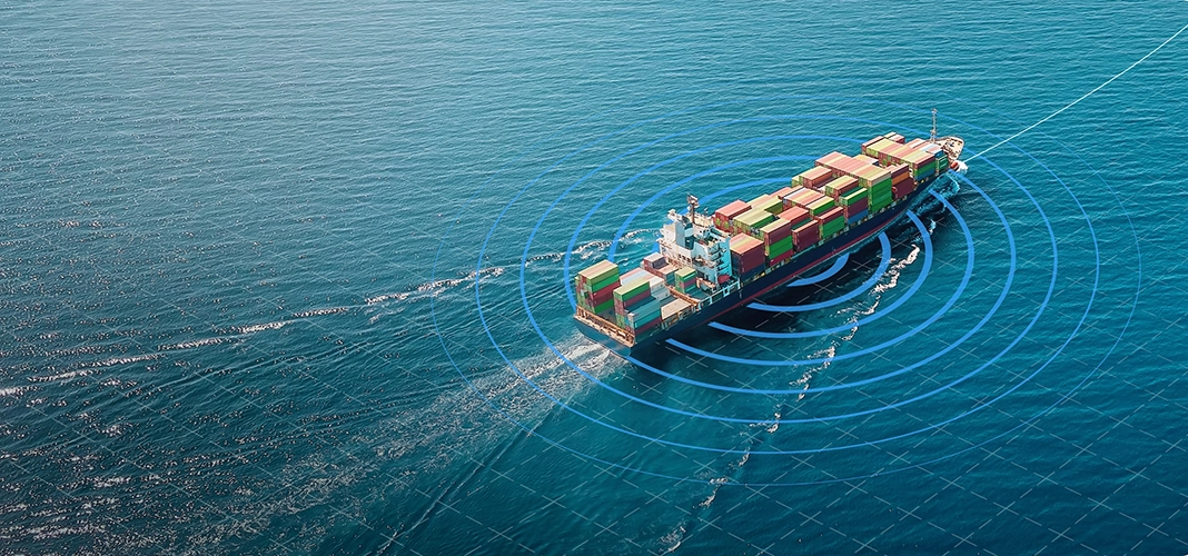
Global AIS Vessel Tracking & Fleet Monitoring
BigOceanData gives ship operators and fleet teams one operational view of commercial vessel movements, port activity and voyages, using combined terrestrial and satellite AIS, alerts and multi-year movement history. When AIS alone falls short, Inmarsat-C and Iridium reporting keep your own vessels visible.
Trusted by leading maritime teams





96%
BigOceanData clients
renew their contracts
80 million
Vessel position reports
every single day
4,500
Ports monitored
450K
Vessels tracked
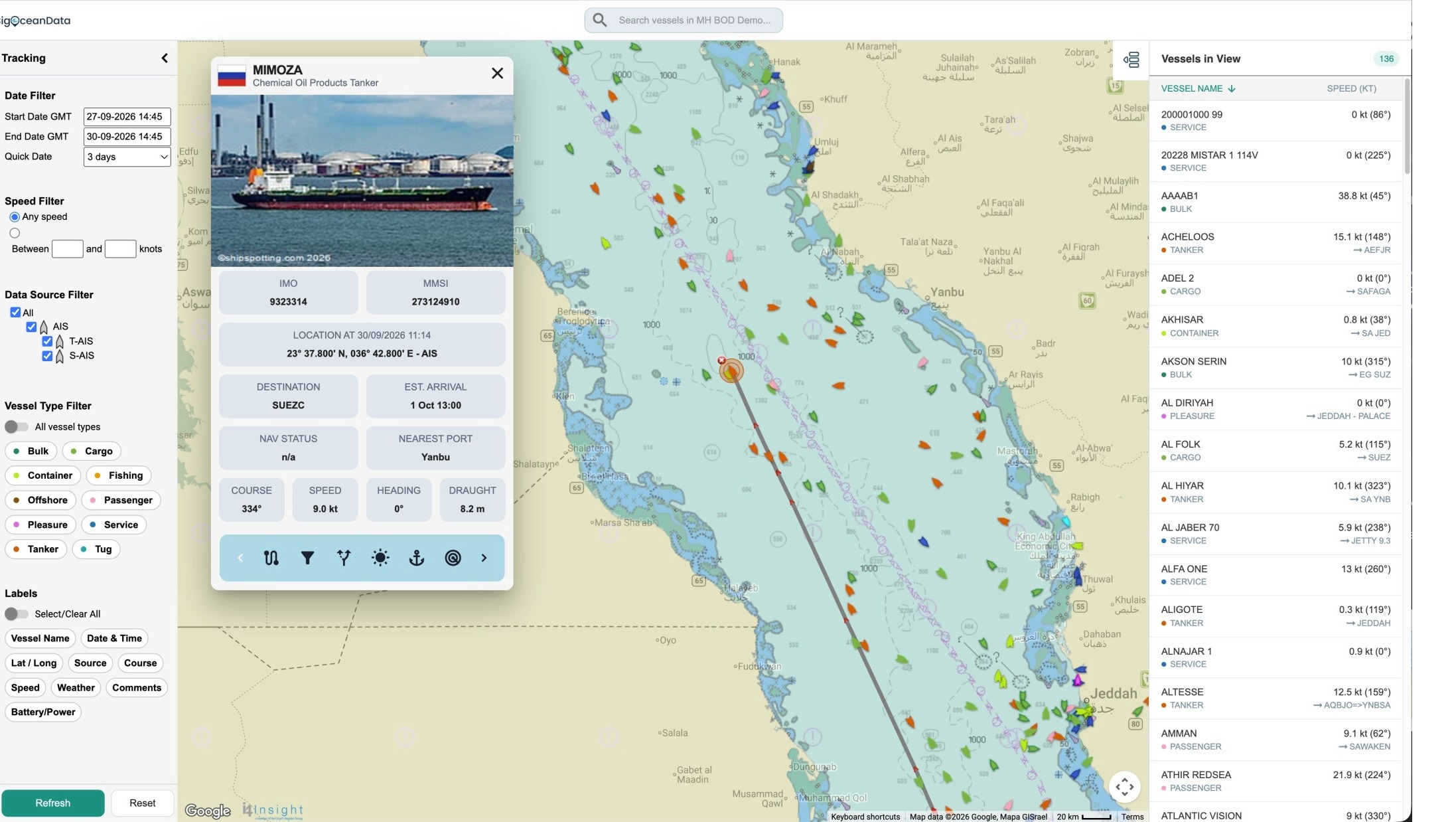
See every vessel, everywhere
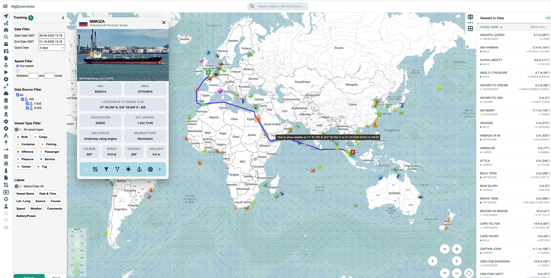
BigOceanData tracks 450,000 vessels through 80 million position reports every day, combining terrestrial and satellite AIS into one continuous feed across coastal waters, open ocean and everywhere between.
For vessels under your control, independently reported positions from Inmarsat-C, Iridium or other onboard devices can fill the gaps when AIS alone is not enough.
Ship operators and fleet teams worldwide use the same workspace to follow vessel movements, port activity, alerts and history, without moving between systems.
Core capabilities:
- Real-time AIS tracking
- AIS coverage continuity
- Vessel geofencing & alerts
- Port call monitoring
- Track history & voyage replay
- Nautical charts and overlays
- Weather and forecasting
- Fleet monitoring & exceptions
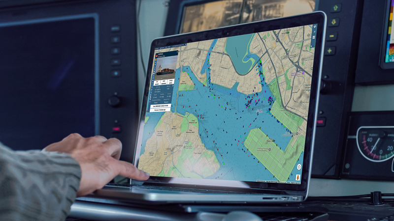
From live monitoring to operational response
A vessel deviating from its expected route. An unexpected anchorage call. A security alert from a ship in a high-risk corridor. Each one arrives with the position, the track and the surrounding activity already attached.
Alerts, zones and SSAS flag what matters. Voyage replay, port activity and full vessel history sit alongside the live picture for the investigation that follows. Your team works from one system, from the first alert to the final report.
- Alerts routed to the right person
- Zones that match your operation
- Source visible on every position
- One shared view across the team
- Up to three years of history
- Exportable evidence for dispute
Built for professional ship and fleet operations

Global AIS Coverage
Combined satellite and terrestrial AIS delivers continuous visibility worldwide. For vessels under your control, independently reported positions from Inmarsat-C, Iridium or onboard devices fill the gaps when AIS alone is not enough.

Advanced Search and Filtering
Identify vessels by type, flag, ownership, activity pattern, speed behaviour or custom-defined criteria.

Fleet and Third-Party Vessel Monitoring
Track your own fleet, third-party vessels and wider market activity from a single shared view.

Port Activity and Voyage Intelligence
Monitor expected arrivals, in-port status and departures alongside voyage replay and historical movement data.

Behavioural Analytics
Detect anomalies, loitering, unusual speed patterns and suspicious routing activity.

Alerts and Area Monitoring
Define zones, set thresholds and receive event-based notifications for operational or security-sensitive situations.
VertomCory: Global vessel intelligence, broader market visibility and faster STS analysis
Insight from our specialists
Making geofencing work for you
Set custom zones around ports, anchorages, and assets to trigger real-time alerts on entry, dwell, or speed.
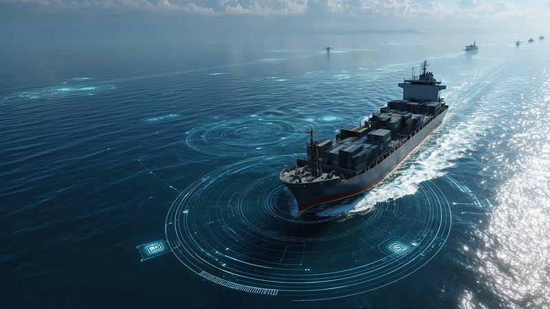
When vessels disappear from AIS
Supplement terrestrial and satellite AIS with Inmarsat-C, Iridium, and onboard feeds into a unified track.
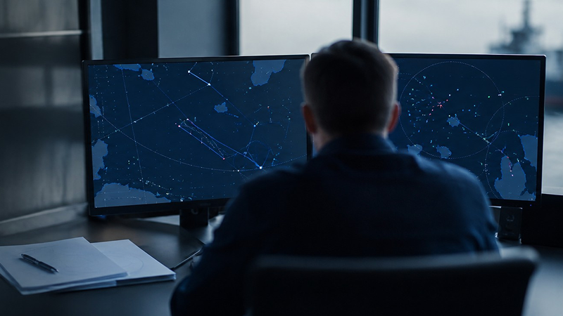
AIS intelligence in the real world
See how BigOceanData utilized historical AIS data to analyze shifting vessel routing through Bab el-Mandeb.
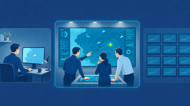
Which platform fits your team?
Compare licensing models, archive depth, and enterprise workflows across BigOceanData, MarineTraffic, and VesselFinder.
Trusted by teams who rely on maritime visibility every day
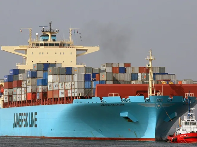

“Maersk needed the ability to track containers. After signing a two-year contract with BigOceanData in for vessel tracking services, Maersk extended and expanded the agreement for a further 30 months, covering three times the original number of vessels and nearly double the number of tracked containers. Maersk continues to use the BigOceanData SSAS service, a cost-effective, well-supported solution.”

Stephan Martinussen
Head of GVPC at Maersk

“Our contract renewal with BigOceanData is a testament to the continued excellence of service and support the team provides. BigOceanData has been and will continue to be one of our key service providers at VertomCory, helping us to enhance the service package we provide to our key clients.”
Neil Flower
Agency Director


“Crisis24 is a global risk management and security services company. We commissioned BigOceanData to provide us with a custom-designed vessel tracking and risk management platform for a range of applications with our insurance, marine and offshore oil & gas clients. BigOceanData was responsive to our requirements from the outset; pioneering new ideas to create exactly what we wanted.“
Crisis24
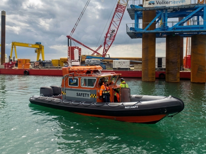
“BigOceanData played a key role in de-risking the return of our vessel, SARBAS, from the Persian Gulf at the onset of hostilities. Their team provided excellent support over a weekend, rapidly setting up frequent Inmarsat-C position updates, seamlessly integrated with AIS data, to support a safer transit. The solution was highly cost-effective and delivered with efficiency and professionalism throughout. The team are a pleasure to work with.”
Mark Robinson
Marine Director
Latest news and insights
Insights
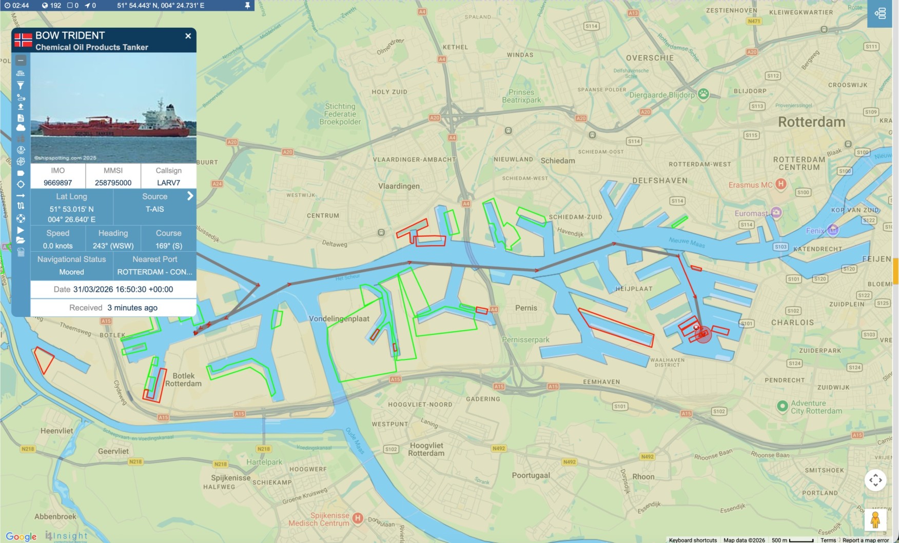
Port Call Monitoring with AIS: Following the Vessel from Approach to Departure
A port call is a sequence of movements, not a timestamp. How AIS positions, port zones and voyage history support arrival planning, live coordination and post-voyage review – and where they stop being reliable. A port call is rarely a single arrival time. The vessel approaches, may wait at anchorage, enters the port, moves to a berth,Continue reading “Port Call Monitoring with AIS: Following the Vessel from Approach to Departure”
Insights
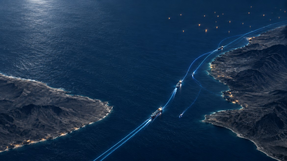
Bab el-Mandeb Shipping: How Houthi Threats Changed Vessel Behaviour
Reseach conducted by BigOceanData for TradeWinds The analysis is based on observations from BigOceanData’s global AIS vessel-tracking network, combining vessel positions collected across terrestrial and satellite sources. Among the months sampled, traffic through Bab el-Mandeb was highest in July 2026, then fell 18% in August after the Houthis announced a blockade of Saudi shipping. ComparedContinue reading “Bab el-Mandeb Shipping: How Houthi Threats Changed Vessel Behaviour”
Insights
Ship Security Alert System (SSAS): a practical guide for operators
What an SSAS actually does, which ships must carry one, where the alert goes when it is pressed, and why most operators discover their weak point during a test rather than an incident. Most SSAS documentation describes a button. That is accurate and almost entirely useless, because the button is the part that works. WhatContinue reading “Ship Security Alert System (SSAS): a practical guide for operators”
News
BigOceanData upgrades terrestrial AIS coverage worldwide, more than doubling vessel visibility in coastal waters
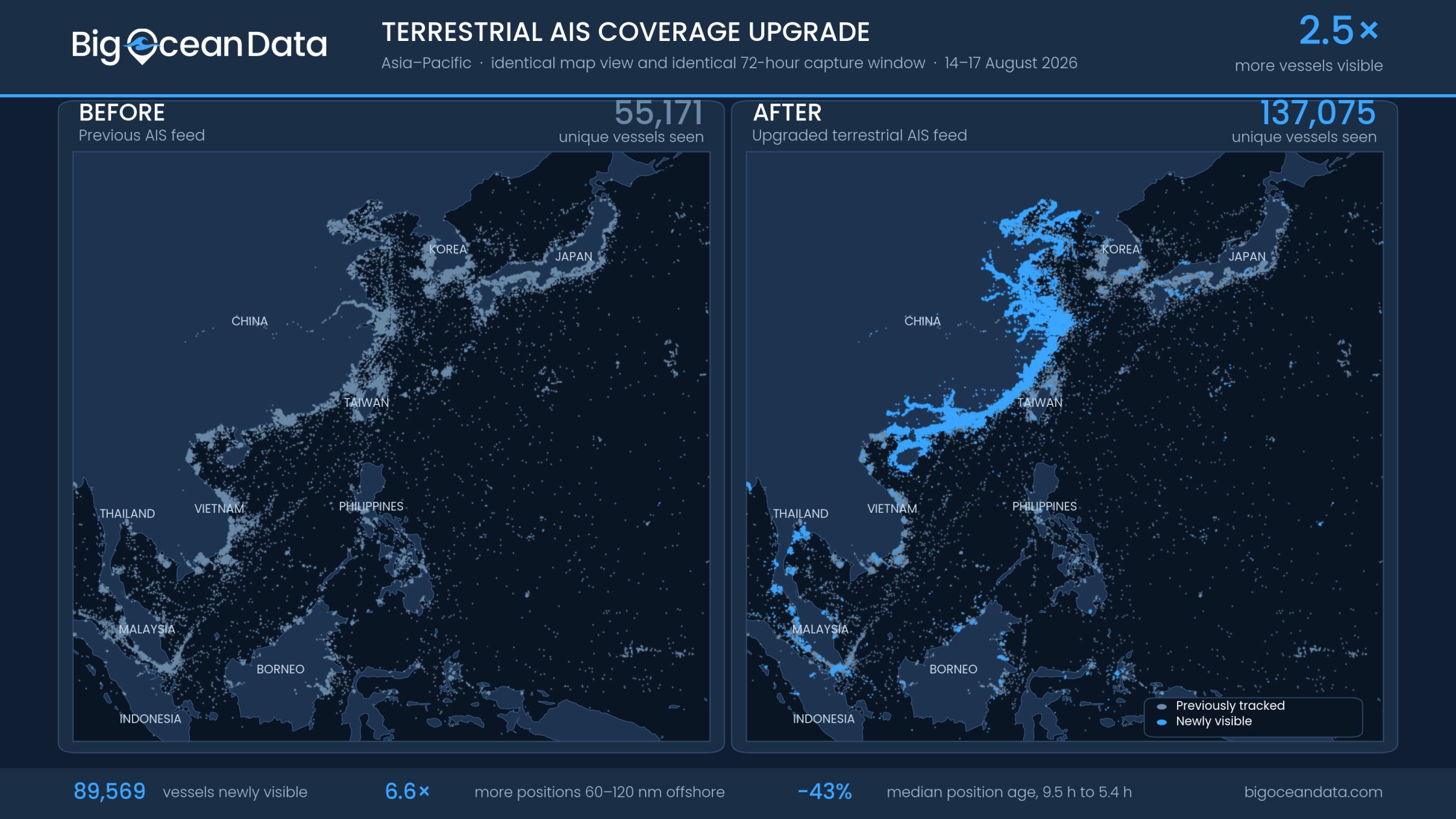
Denser terrestrial coverage strengthens the coastal half of BigOceanData’s combined terrestrial & satellite AIS feed, with an Asia-Pacific sample showing 2.5 times more vessels tracked & position updates arriving 43% sooner. London, 26 August 2026, BigOceanData today announced a significant upgrade to the terrestrial component behind its vessel tracking platform, substantially increasing the number of vesselsContinue reading “BigOceanData upgrades terrestrial AIS coverage worldwide, more than doubling vessel visibility in coastal waters “
Insights
Vessel Geofencing: How to Build AIS Alerts Your Team Will Actually Act On
Defining maritime zones, writing alert rules that earn attention, and avoiding the alert fatigue that quietly kills most monitoring set-ups. Vessel geofencing lets a maritime team draw a boundary around a port, anchorage, terminal, coastal region, offshore asset or sensitive area, and be told when a vessel interacts with it. Instead of checking a mapContinue reading “Vessel Geofencing: How to Build AIS Alerts Your Team Will Actually Act On”

Insights
How to Evaluate a Vessel Tracking Platform
Most tracking platforms look identical in a demo. Here is what actually separates them, what “satellite AIS” means in practice, and the questions to take into a vendor call. Every vessel tracking platform shows ships on a map. In a demo, they all look capable, they all have alerts, they all have history, and theyContinue reading “How to Evaluate a Vessel Tracking Platform”
Insights
What Happens When a Vessel Disappears From AIS?
AIS is the foundation of vessel tracking, but it was never designed for uninterrupted global coverage. When a vessel stops reporting, AIS Continuity maintains visibility using independent position sources already available on many ships.
Insights
We watched every large cargo Ship and Tanker in the Strait of Hormuz for 30 Days
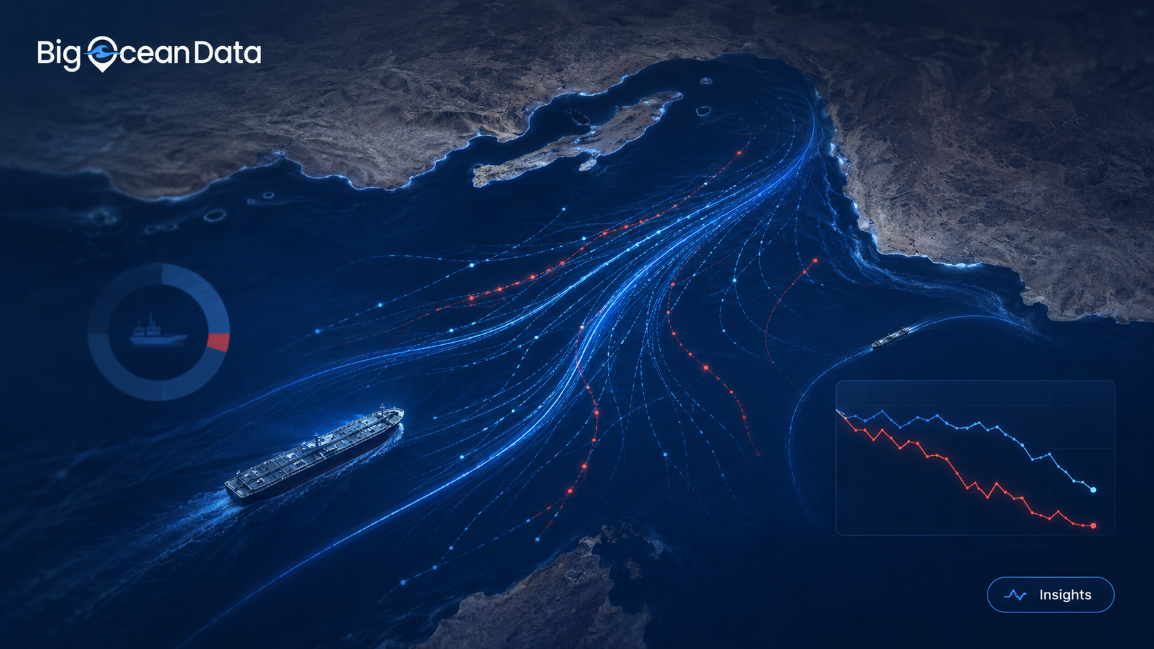
BigOceanData monitored Strait of Hormuz vessel traffic for 30 days, analysing every qualifying cargo ship and tanker observed across the strait and its approaches. The results reveal a maritime corridor operating far outside its normal patterns. On a normal day, the Strait of Hormuz is one of the world’s busiest energy corridors. In January, ourContinue reading “We watched every large cargo Ship and Tanker in the Strait of Hormuz for 30 Days”

Insights
Which vessel tracking platform is right for your team? MarineTraffic, VesselFinder, or BigOceanData?
“Should we use you, MarineTraffic or VesselFinder? “ It is a question we are asked directly, and it deserves a straight answer rather than a sales pitch. The short version: if you are an individual who needs vessel positions, or a business looking for standalone AIS data feeds, VesselFinder is a sensible place to start. If you are a large organisationContinue reading “Which vessel tracking platform is right for your team? MarineTraffic, VesselFinder, or BigOceanData?”
News, Press
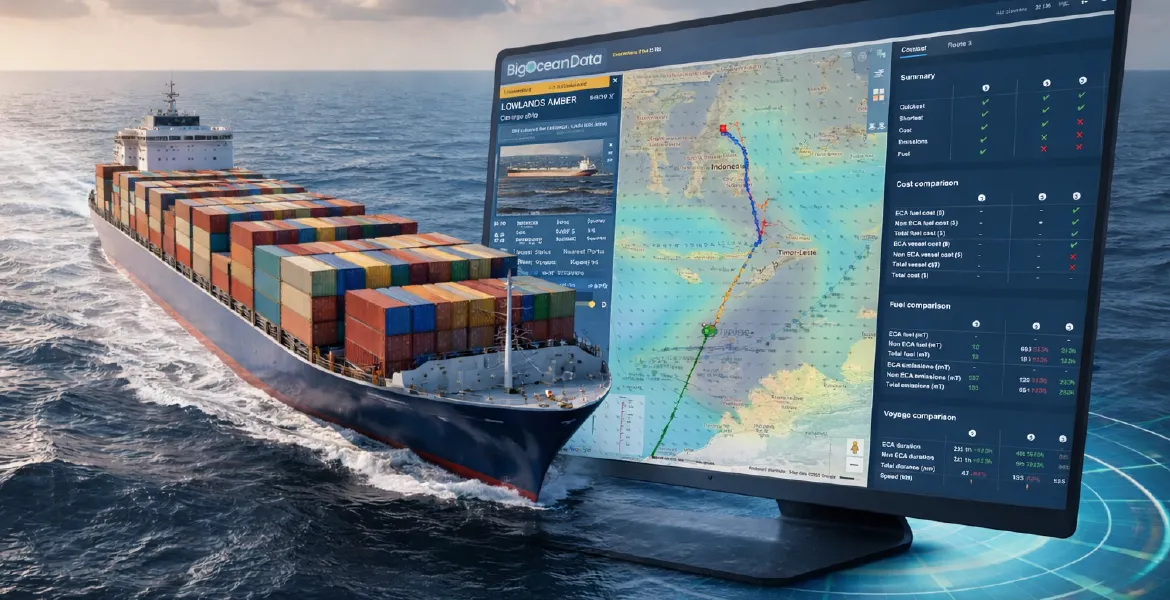
BigOceanData launches Route Optimisation as part of its connected maritime operations platform
New capability combines weather-aware routing, vessel-specific logic and operational constraints to support better voyage decisions London, 21 April 2026 — BigOceanData today announced the launch of Route Optimisation, a new capability within the BigOceanData platform designed to help shipowners, operators and managers make better voyage decisions by connecting route planning with live operational visibility. BuiltContinue reading “BigOceanData launches Route Optimisation as part of its connected maritime operations platform”
Insights
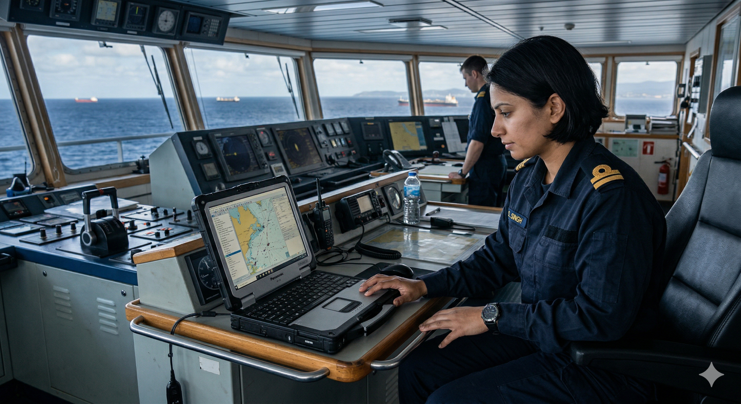
From Live Positions to Better Decisions: The Real Value of Vessel Tracking
Vessel tracking is often reduced to a simple visual: a ship moving across a map. That is useful, but it is not where the real value sits. In practice, the value comes from what a team can decide once that movement is visible, interpretable, and connected to the operational picture around it. In shipping, timingContinue reading “From Live Positions to Better Decisions: The Real Value of Vessel Tracking”
News
Bulgarian Shipping Company Renews Agreement
A leading Bulgarian shipping company has renewed its partnership with BigOceanData following a highly successful initial term. Operating a fleet of 36 bulk carriers worldwide, the company requires reliable vessel tracking — even in regions where AIS coverage is limited. To address this, we implemented scheduled Inmarsat-C reporting alongside AIS data, ensuring continuous and accurateContinue reading “Bulgarian Shipping Company Renews Agreement”
Frequently Asked Questions
Common questions about BigOceanData vessel tracking and AIS data.
It depends on what you need. For an individual following vessel movements, VesselFinder and MarineTraffic’s personal plans work well. For a large multinational running a fleet-wide data programme, MarineTraffic’s enterprise offering is a strong fit.
BigOceanData is built for professional operations, security and management teams that share responsibility for a fleet. One workspace with multiple users, satellite and terrestrial AIS on every plan, and alerts, zones, workflows and voyage history against each managed vessel. We also support requirements beyond AIS, including SSAS and position reporting via Inmarsat-C and Iridium, which is where many of our longest-standing customers began.
BigOceanData Vessel Tracking is a commercial ship and fleet-monitoring platform providing real-time and historical visibility of vessel movements worldwide. It combines multiple AIS sources with maritime intelligence, alerts and operational tools to give ship operators and fleet teams a clearer, more reliable view of activity.
BigOceanData combines multiple AIS data sources, including terrestrial AIS, satellite AIS and additional maritime data inputs, improving coverage and reliability compared to single-source solutions. Update frequency depends on AIS source and location, but BigOceanData combines multiple feeds to improve update rates and consistency.
Accuracy depends on AIS signal availability, but by combining multiple data sources, BigOceanData improves position frequency and reliability, particularly in challenging areas such as open ocean or high-traffic regions.
Yes. The platform provides global coverage, including coastal and open ocean regions, supported by satellite AIS and terrestrial networks.
AIS gaps happen for several reasons: coverage, congestion, equipment failure and intentional switch-off. BigOceanData combines multiple AIS sources to improve resilience. For vessels under your control, Inmarsat-C, Iridium and other onboard position sources feed the same workspace, so continuity holds when AIS is unavailable. We do not claim to identify every dark or spoofed vessel.
Yes. Users can track their own fleet as well as third-party vessels, supporting operational monitoring, chartering, market intelligence and risk awareness.
Yes. Users can set up alerts for vessel movements, port arrivals and departures, and defined geographic areas to stay informed and respond quickly.
Yes. BigOceanData provides access to historical vessel data, allowing users to analyse past voyages, trading patterns and operational behaviour.
Vessel tracking is one of the four core pillars of the BigOceanData platform, alongside Route Optimisation, SSAS and Maritime Intelligence, enabling connected operational decisions.
BigOceanData combines multi-source AIS data, operational workflow tools, route optimisation and maritime intelligence to provide a more connected decision-making platform.